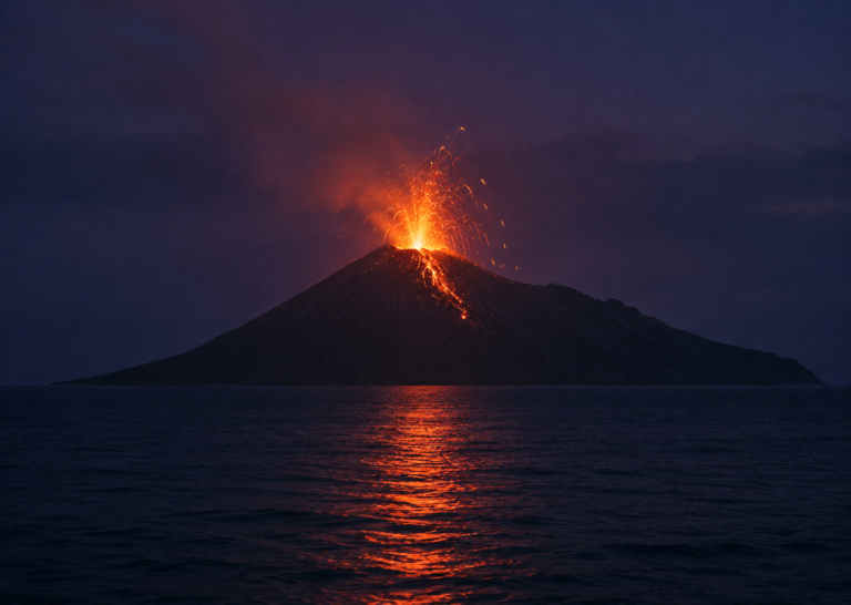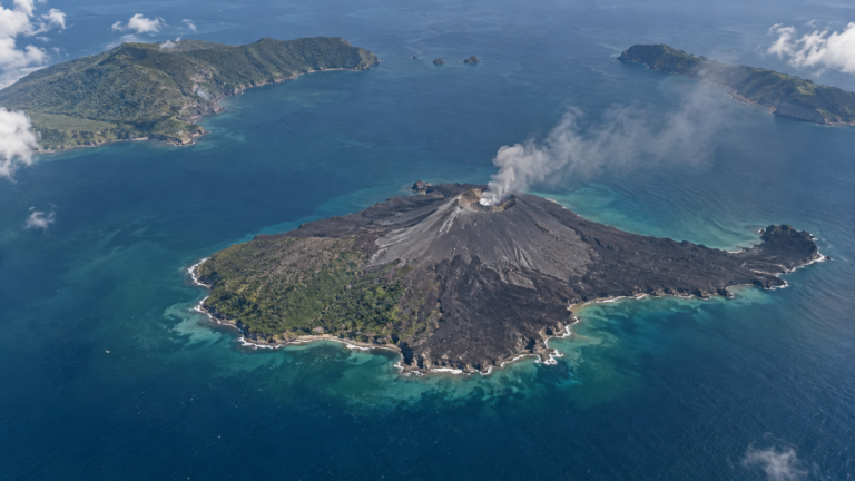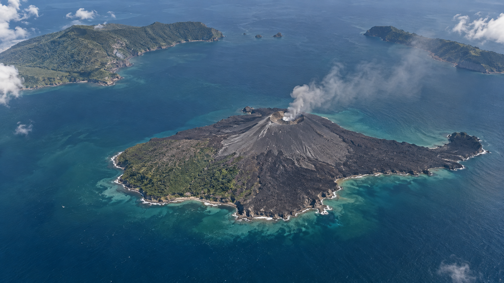
Indonesia has lowered Anak Krakatau’s alert status after monitoring showed that volcanic activity had continued to decline following the major eruption earlier this month.
The Geological Agency reduced the status from Level III, Siaga, to Level II, Waspada, at 6:30pm on September 21. The change is an encouraging sign, but it does not mean that the volcano is inactive or that all restrictions have ended.
Visitors, tourists and local residents are still prohibited from entering an area within two kilometres of the volcano’s centre. Authorities have also warned that sudden eruptions could produce incandescent rocks and heavy ashfall.
Why the Anak Krakatau alert level was lowered
Anak Krakatau had remained at Level III since July 2, when an increase in volcanic earthquakes and changes in the shape of the volcano indicated growing pressure within its system. The Geological Agency recorded 224 eruptions between then and September 3.
Activity intensified late on September 4, beginning a continuous eruptive phase that lasted approximately 25 hours. It produced lava fountains, explosions and ash columns that disrupted aviation and daily life across parts of Java and Sumatra.
After that phase ended, Anak Krakatau continued producing smaller eruptions, but its overall activity gradually declined. Monitoring through September 20 showed deflation, meaning that part of the volcano was contracting rather than continuing to expand under pressure.
Instruments recorded only one low-frequency earthquake that day, along with continuous tremor with an average amplitude of two millimetres. After evaluating the seismic, visual and deformation data together, the Geological Agency lowered the alert status.
Deflation is evidence that the recent build-up has eased, but it is not proof that magma has disappeared. Conditions inside a volcano can change again, which is why monitoring continues after an alert level is reduced.
What Level II means
Indonesia uses four levels to describe volcanic activity. Level I, or Normal, indicates ordinary background conditions. Level II, Waspada, means that activity is above normal and requires increased attention. Level III, Siaga, indicates a more significant escalation, while Level IV, Awas, is the highest warning.
An alert level describes the volcano’s present behaviour. It is not a long-term prediction and does not guarantee that an eruption will or will not occur.
Level II therefore should not be interpreted as an “all clear.” Anak Krakatau remains active, eruptions remain possible, and the two-kilometre exclusion zone continues to apply. Its status could be raised again if earthquakes, deformation, gas emissions or surface activity increase.
The volcano born after Krakatau’s destruction
Anak Krakatau is not the same volcanic cone that produced the catastrophic eruption of 1883. That eruption destroyed most of the original Krakatau island, caused a major caldera collapse and generated tsunamis that killed more than 36,000 people around the Sunda Strait.
Volcanic activity eventually returned inside the submerged caldera. Submarine eruptions began in 1927, and a new island reached the surface in 1929. After repeated eruptions added layers of lava and volcanic material, it became a permanent island.
The name Anak Krakatau means “Child of Krakatau,” reflecting its emergence from the remains of the older volcanic system. It is young in geological terms, but it has been extremely active. Repeated eruptions gradually increased its height and expanded its coastline throughout the 20th and early 21st centuries.
This cycle of eruption and growth helps explain why a quieter period does not mark the end of the volcano. Anak Krakatau is still being constructed by the same processes that periodically damage or reshape it.
The 2018 collapse reshaped the island
By 2018, Anak Krakatau had grown to approximately 338 metres above sea level. On December 22 that year, an eruption and collapse of part of the volcano’s flank sent a large quantity of material into the sea.
The displacement generated a tsunami that struck the coasts of Banten and Lampung without being preceded by the strong tectonic earthquake normally associated with tsunami warnings. More than 400 people were killed.
The collapse destroyed much of the island and sharply reduced its height. By August 2019, its highest point was estimated at around 155 metres. Subsequent eruptions then began building new volcanic features above the crater lake.
The disaster demonstrated that Anak Krakatau’s dangers are not limited to lava, explosions and ash. The stability of its slopes also matters because the sudden movement of volcanic material into the Sunda Strait can disturb the sea.
There is no evidence that the September 2026 eruption generated a tsunami. Indonesian authorities have also cautioned against unsupported claims that every eruption will produce one.
How Anak Krakatau is monitored
Scientists cannot see directly into a volcano, so they look for changes that reveal what is happening beneath it.
Seismographs record earthquakes caused by moving magma, gas and fractured rock. These volcanic earthquakes are different from the larger regional earthquakes produced by movements along tectonic faults, although both appear in seismic records.
Deformation instruments measure whether the ground is expanding or contracting. Cameras and satellites track ash, lava and changes to the crater, while aviation warnings follow the height and direction of ash clouds.
Monitoring also extends into the Sunda Strait. During the September eruption, BMKG used 20 tsunami gauges as well as seismographs and high-frequency radar to look for unusual changes in sea level. No tsunami-related anomaly was detected.
BMKG is also conducting an integrated meteo-oceanographic survey in the strait from September 14 to 25. The observations are intended to improve forecasts and strengthen monitoring of how Anak Krakatau’s activity can affect the surrounding sea and atmosphere.
About the Author