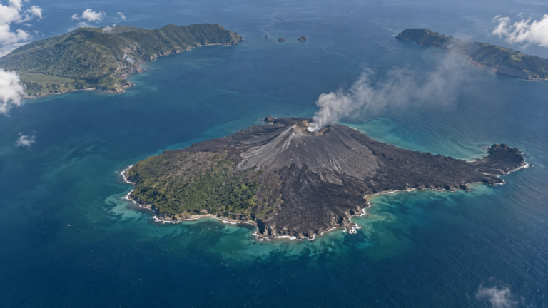
The September eruption of Anak Krakatau did more than send ash across western Indonesia and disrupt air travel. It also redrew the volcano’s coastline.
Indonesia’s Geology Agency said lava deposited during the eruption expanded the main island by approximately 32.8 hectares, or 81 acres. Its total area is now estimated at 341.5 hectares.
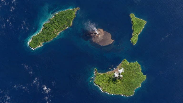
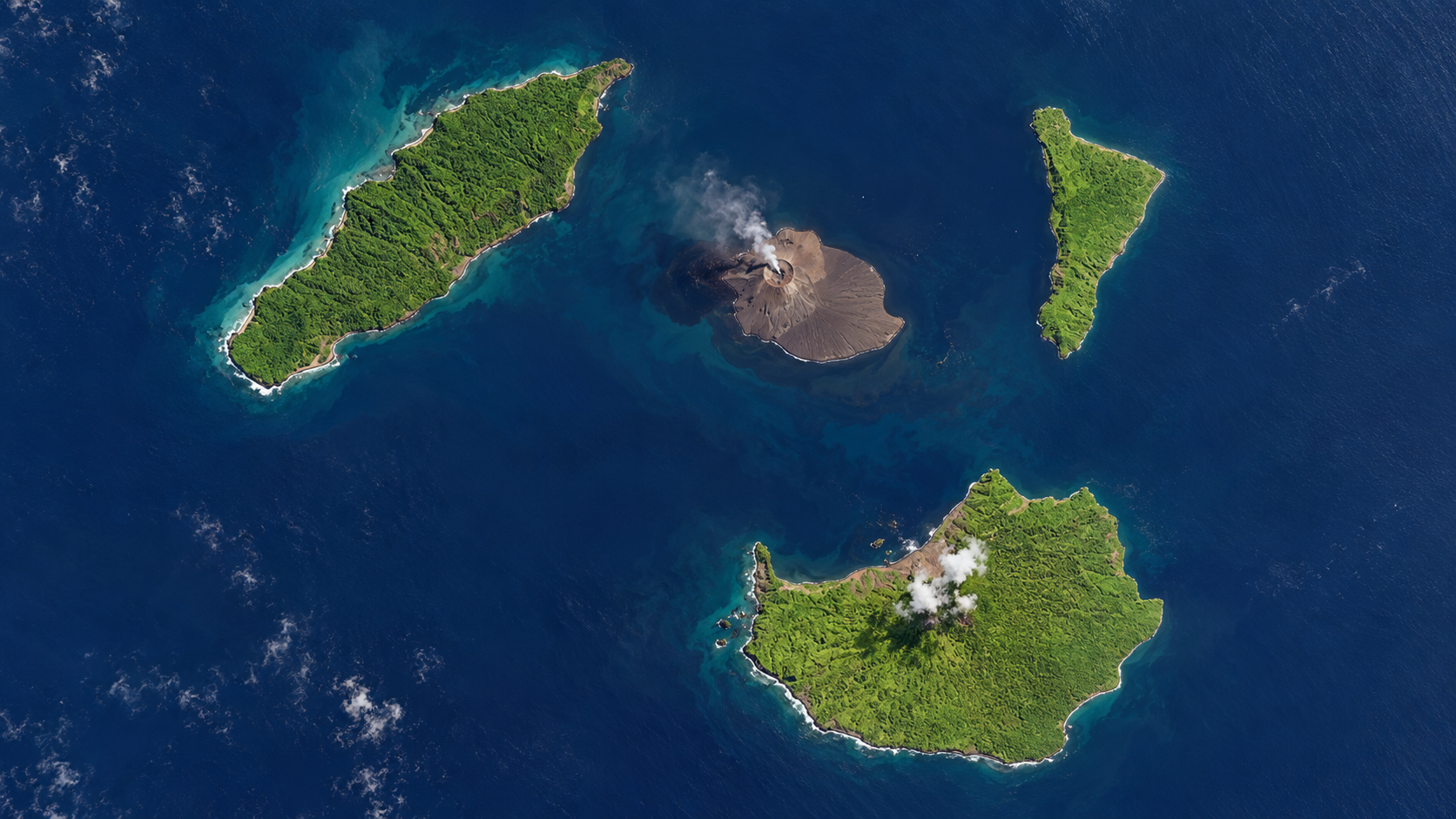
Two small land formations have also appeared on opposite sides of the volcano. Scientists believe they are connected to the eruption, but their exact origin—and whether they will become permanent islands—has not yet been established.
Lava changed Anak Krakatau’s coastline
The largest eruptive phase began late on September 4 and continued for about 25 hours. Lava fountains rose above the crater as flows travelled northwest, west and southwest towards the sea.
When the lava reached the coast and cooled, it created new ground along the western and southwestern sides of the island. The change was identified by comparing Sentinel satellite images taken on August 8 and September 15.
The expansion is substantial for an island of Anak Krakatau’s size. It also provides a lasting physical record of an eruption whose most visible effects elsewhere: ash-covered streets, closed airports and suspended classes, have largely passed.
Two new land formations require further study
The two smaller formations were first observed on September 22. Satellite imagery taken the following day showed one approximately 760 metres northwest of Anak Krakatau’s coastline and another about 495 metres to the southeast.
Both lie along a northwest–southeast line passing through the central part of the main island.
Their position has raised questions about whether they could be connected to volcanic activity below the surface. However, the Centre for Volcanology and Geological Hazard Mitigation, known as PVMBG, has said that more observations and analysis are needed before it can determine whether they represent new eruption centres.
For now, describing them as new land formations or small islands is more accurate than calling them new volcanoes. Their appearance alone does not prove that Anak Krakatau’s activity is increasing.
It is also unclear whether they will survive. Fresh volcanic material can be loose and unstable, leaving it vulnerable to waves and strong currents. Further deposits could enlarge or connect the formations to the main island, while erosion could reduce them or cause them to disappear.
An island repeatedly built and destroyed
Anak Krakatau’s changing shape is part of a much longer process. Its name means “Child of Krakatau”, and the island began emerging from the sea in 1927 inside the caldera left by the catastrophic 1883 eruption.
Repeated eruptions gradually built the cone above the water. That growth has never been permanent or predictable. In December 2018, a flank collapse destroyed much of the volcanic island and generated a tsunami that killed more than 400 people around the Sunda Strait.
Eruptions later began rebuilding the cone. The latest expansion is another stage in this cycle: magma reaches the surface, lava hardens into new ground, and the sea begins reshaping it almost immediately.
Alert remains at Level II
Anak Krakatau remains at Level II, or Waspada, on Indonesia’s four-level volcanic alert scale. The status was lowered from Level III on September 21 after monitoring showed declining activity and deflation of the volcano.
The lower alert does not mean that Anak Krakatau is inactive. Visitors must remain at least two kilometres from the summit. Authorities have also warned people to stay at least one kilometre away from the newly observed formations while their origin and stability are investigated.
Five journalists remain missing
The eruption also left a human tragedy that remains unresolved. A speedboat carrying five photojournalists, two crew members and a route guide disappeared while travelling from Carita towards Anak Krakatau to cover the eruption.
The group’s last known message indicated that it had reached waters around the volcano. Indonesian rescuers searched the Sunda Strait for ten days but ended the operation on September 18 without locating the eight missing people. No subsequent confirmed discovery has been reported.
Their disappearance illustrates the danger of reporting from an active volcano, particularly one located offshore and surrounded by unpredictable seas. Volcanic hazards are only part of the risk; journalists and crews must also contend with changing weather, currents, limited communications and long distances from emergency assistance.
About the Author