2026 El Nino
Indonesia’s 2026 El Niño is no longer simply a developing climate threat. By late August, BMKG was describing it as very strong, while fires across Sumatra and Kalimantan were accelerating sharply.
The event is also testing two things: how well scientists predicted it, and whether Indonesia is better prepared than during the disastrous El Niño years of 1997 and 2015.
Early forecasts underestimated how quickly 2026 El Niño would strengthen
At the beginning of 2026, forecasts were cautious.
In February, the World Meteorological Organization gave only a 10% probability of El Niño developing during March to May. By March, NOAA raised the probability of El Niño emerging during June to August to 62%, but estimated only about a one in three chance that it would become strong late in the year.
The picture changed quickly in May and June. WMO models began forecasting a rapid transition toward a strong event, with the probability of El Niño rising sharply for the second half of the year.
Those later forecasts proved much closer to reality.
BMKG recorded the Niño 3.4 sea surface temperature anomaly at +2.20°C in July, +2.77°C in early August and +2.99°C by mid August, which it classified as very strong El Niño.
Different agencies use different indices and averaging periods, so their numbers cannot be compared directly. But the trend is clear: early forecasts underestimated the speed and strength of the event, while forecasts issued from May onward performed much better.
NOAA now gives a greater than 90% chance of a very strong El Niño later in 2026 and early 2027.
2026 is entering serious El Niño territory
Indonesia has experienced powerful El Niño events before.
NOAA’s historical Oceanic Niño Index reached around +2.4°C in 1997 to 1998, +2.6°C in 2015 to 2016 and +2.0°C during 2023 to 2024.
But ocean temperature alone does not determine how severe the damage will be.
The 2015 fires burned roughly 2.6 million hectares and caused an estimated US$16.1 billion in losses, equivalent to about 1.9% of Indonesia’s GDP.
The 2023 El Niño also produced widespread fires, with around 1.16 million hectares burned, but Indonesia avoided a repeat of the 2015 catastrophe.
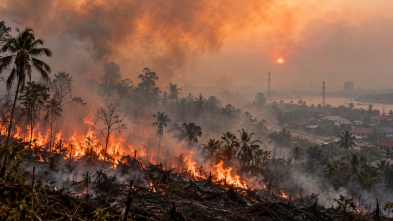
This year remains well below those final totals, but the trajectory is increasingly worrying. More than 202,000 hectares burned between January and July, including nearly 95,000 hectares in July alone.
Indonesia also recorded more than 9,000 fire hotspots during August, compared with 5,077 in August 2015.
Hotspots are not the same as hectares burned, and the worst months of the 2015 crisis came later. Still, the comparison can no longer be dismissed as hypothetical.
Why a strong El Niño does not automatically mean another 2015
Indonesia has changed since the 2015 disaster.
Peatland restoration expanded, satellite monitoring improved, hotspot detection became faster and the government strengthened weather modification and aerial firefighting capacity.
During the current fires, authorities have deployed 34 aircraft and tens of thousands of personnel. They are also investigating companies whose concessions contain thousands of hectares of burned land.
These measures may already be limiting the scale of the disaster.
That matters because El Niño does not itself ignite Indonesian forests. Human activity starts most fires. El Niño removes moisture from vegetation and peat, allowing those fires to spread faster and become harder to extinguish.
The real test is therefore not only how hot the Pacific becomes, but whether Indonesia can prevent extreme climate conditions from becoming another human made fire and haze crisis.
One El Niño, very different consequences
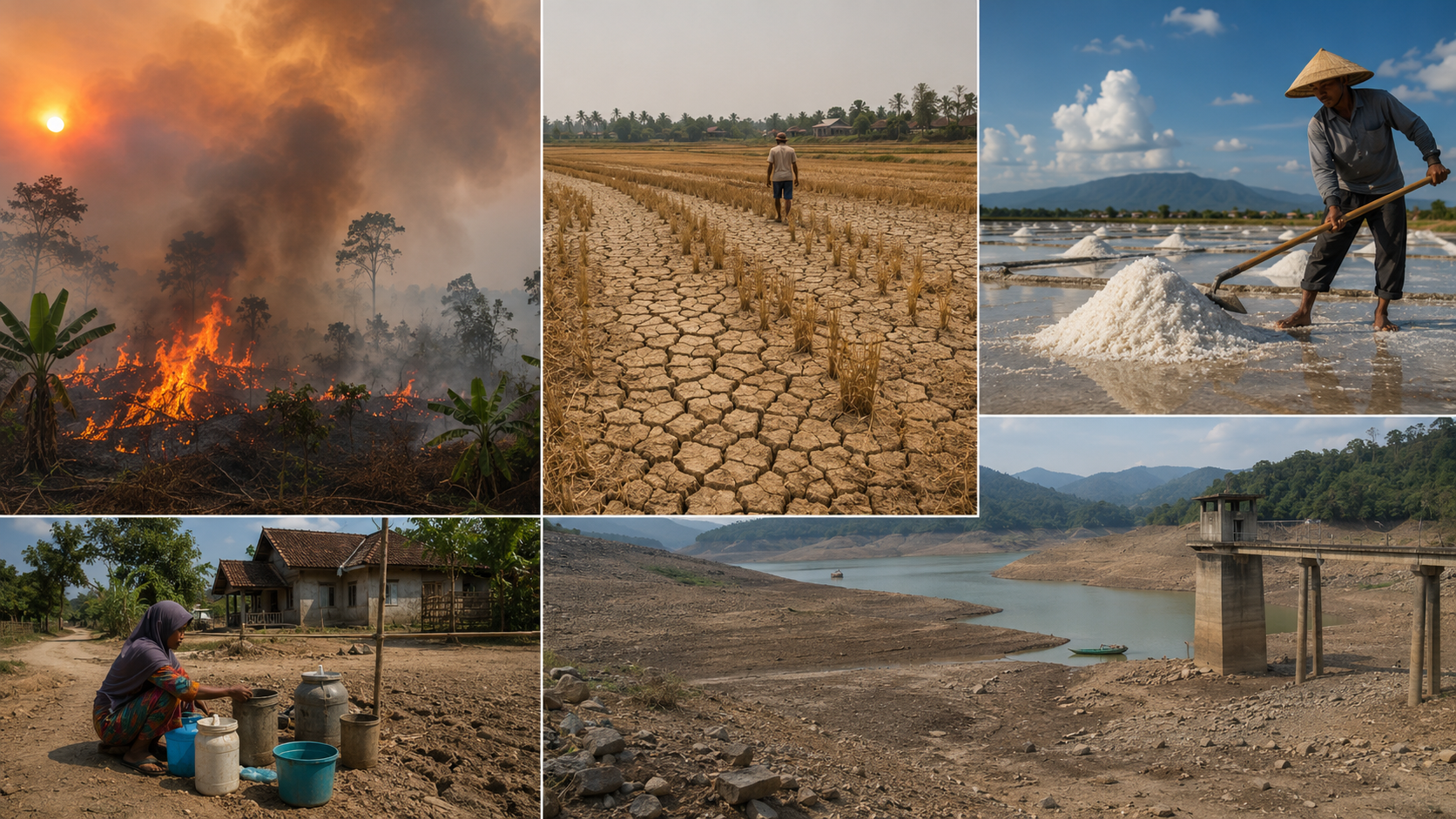
Indonesia’s experience also shows why El Niño cannot simply be described as a worldwide drought.
The Philippines is preparing for stronger dry spells and drought risks, although monsoon rainfall can still bring heavy rain to western areas.
In Australia, forecasters warn of increased chances of below normal rainfall, but stress that even a very strong El Niño does not guarantee severe drought everywhere.
India has already seen clearer impacts. August rainfall finished 16% below average, increasing pressure on agriculture and food production.
Across the Pacific, Peru faces almost the opposite problem. Authorities estimate 1.2 million people could be at risk as El Niño increases the danger of flooding and mudslides in northern regions, while some southern areas face drought.
The comparison with 2015 is becoming real
It remains too early to call 2026 Indonesia’s next 1997 or 2015.
But the comparison is no longer academic. El Niño strengthened much faster than scientists expected early this year, August hotspot numbers have already exceeded those recorded in the same month of 2015, and NOAA believes the event could strengthen further.
Indonesia is better prepared than it was a decade ago. Whether those improvements are enough may become one of the most important tests of the 2026 El Niño.
About the Author