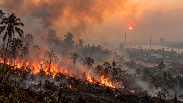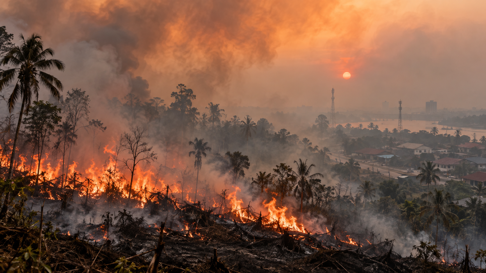
Indonesia is enduring its most serious forest and land fire season in years. Months of fires across Sumatra, Kalimantan and other regions have damaged forests and peatlands, pushed air pollution to dangerous levels, disrupted schools and flights, and sent haze across Southeast Asia.
The final scale of the 2026 fires is still uncertain.
How much of Indonesia has burned?
The latest verified national government figure covers only January through July, when more than 202,000 hectares had burned.
Independent estimates covering January through August are much higher, ranging from approximately 637,000 to 900,000 hectares. Until authorities complete their verification, those numbers should be treated as estimates rather than a definitive national total.
For perspective, around 2.6 million hectares burned in 2015, Indonesia’s most destructive recent fire year. About 1.16 million hectares burned during the 2023 El Niño.
Fire activity also remains intense. On October 12 alone, the Forestry Ministry detected 1,085 high-confidence hotspots nationwide. Central Kalimantan was one of the main areas of concern.
More than 280,000 respiratory illnesses
The most immediate human cost is the smoke. Indonesia’s Health Ministry recorded 283,270 cases of acute respiratory illness in seven affected provinces between August 18 and October 13. More than 63,000 involved children under five.
Air pollution has reached extraordinary levels in parts of Kalimantan. Schools have repeatedly moved classes online to reduce children’s exposure.
The environmental cost extends further
Wildfires destroy wildlife habitat, damage peatlands that store enormous quantities of carbon and release greenhouse gases into the atmosphere.
During one seven-day period in late August, Indonesia’s fires emitted an estimated 17.1 million tonnes of carbon, more than four times the seasonal average.
Flights, homes and economic costs
There is no reliable estimate yet for the total economic cost of the 2026 crisis. The experience of 2015 shows how large that cost could become. The World Bank estimated losses from that year’s fires at US$16.1 billion, equivalent to roughly 1.9% of Indonesia’s GDP at the time.
This year’s disruption is already visible in aviation. The Transportation Ministry says wildfire haze affected 1,813 scheduled domestic flights between August 11 and October 12.
The fires have also reached residential areas. In Bangka Selatan, Bangka Belitung, an October blaze spread from dry land into a settlement. Updated local disaster-agency data recorded about 305 homes destroyed and 1,800 people affected.
Indonesia’s haze becomes a regional problem again
Smoke has increasingly crossed Indonesia’s borders.
Singapore recorded its highest PM2.5 pollution level of the year in October. Schools have also been closed or classes suspended in parts of Malaysia and Timor-Leste because of unhealthy air.
That turns Indonesia’s fires into a diplomatic problem as well as an environmental one. Transboundary haze has long been a sensitive issue within ASEAN, particularly during severe Indonesian fire years.
Why El Niño and the Indian Ocean Dipole are keeping Indonesia dry
Most Indonesian forest and land fires are started by human activity, including agricultural burning and land clearing. Climate conditions, however, can determine how easily those fires spread and how difficult they become to extinguish.
Indonesia is currently experiencing a very strong El Niño together with a positive Indian Ocean Dipole, or IOD. The IOD describes differences in sea temperatures between the eastern and western tropical Indian Ocean. During its positive phase, waters near Indonesia tend to be relatively cooler, while warmer water shifts toward Africa. Clouds and moisture also shift westward, leaving parts of Indonesia with less rainfall.
When a positive IOD occurs alongside El Niño, their drying effects can reinforce one another.
BMKG says this combination is helping prolong Indonesia’s 2026 dry season. The agency expects the rainy season to begin later than normal across 61% of the country’s land area, with many regions not entering the wet season until November or December.
Peatlands make the problem harder
Peatlands are naturally waterlogged areas containing deep layers of partially decomposed plant material. When they are drained and dried, that carbon-rich material becomes highly flammable.
Unlike ordinary surface fires, peat fires can smolder underground for long periods and reappear after the visible flames have been extinguished. They also produce particularly dense smoke and require sustained moisture rather than occasional showers to put them out completely.
That makes the delayed rainy season especially important. BMKG expects more than half of Indonesia to experience a shorter-than-normal 2026–27 rainy season, meaning some fire-prone areas may have less time than usual to fully recover from months of dry conditions.
The return of regular rain should eventually reduce the immediate fire threat. But the scale of this year’s haze, health impacts and economic disruption shows how quickly Indonesia’s dry-season fires can grow into a national and regional crisis.
About the Author